Quantifying animal movement behavior and landscape utilization of a managed bison herd in the Nebraska sandhills
Principle Investigators
Dr. Jamie Brennan, South Dakota State University
Dr. Ira Parsons, South Dakota State University
Dr. Carter Kruse, Turner Institute of Ecoagriculture
Dr. Jeff Martin, South Dakota State University
Rationale.
Quantifying grazing behavior and locations of free-ranging animals can be difficult, especially on extensive rangelands. Remote tracking with GPS technology has tremendous potential for studying bison grazing selection and use patterns in extensive, complex landscapes. Commercially available wildlife tracking devices have traditionally been used to monitor wildlife movement but are expensive and often cost-prohibitive for researchers and managers, often at the expense of limiting sample size and thus knowledge gained. Most studies in bison have examined movement patterns and resource selection using GPS fix intervals of one to several hours; GPS collars with higher temporal resolution (30-minute) have been used to study bison habitat selection and spatial variability in Yellowstone National Park. While these studies highlight the benefit of studying movement and selection across larger landscapes to better understand bison ecology, these devices lack the temporal precision necessary to accurately predict behavior (e.g., grazing, resting, walking). In addition, the majority of bison tracking research has focused on wild free or semi-free ranging animals with little work conducted on selection of more intensively managed bison such as at the Institute. Most grazing management recommendations are based on observing cattle behavior and use with little to no information specific to bison. Understanding spatial variability of bison grazing patterns within pastures and seasonal shifts in selection can help better develop grazing strategies unique to bison producers to improve rangeland health and animal production. The objective of this study was to study daily and seasonal individual movement and topographic land use at various temporal scales in pastures of varying size.
Outcomes.
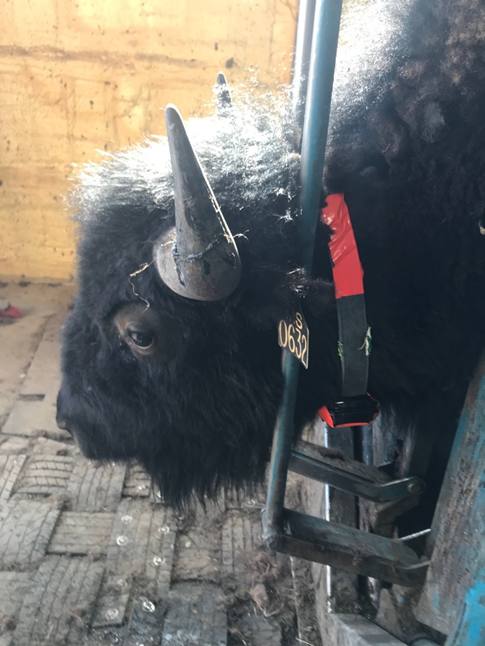
Forty-five Bison (Bison bison) cows were collared on the McGinley ranch located in the Nebraska Sandhills using GPS receivers programmed for 8-minute fix intervals and mounted on a modified stock collar in February 2024 and retrieved in February 2025. Geospatial data processing was conducted in Program R using the sf and terra libraries. A 10-meter DEM layer was downloaded from the GIS web database and used to calculate topographical indices, including the Topographical Water Index, Topographical class, and slope. Utilization distribution was calculated by overlaying a 25-meter grid across the landscape, extracting calculated landscape values to each grid cell, and counting the total number of standardized fix interval GPS locations existing within each cell for each animal. Daily distance traveled by bison (9-10 km) was significantly influenced by season and was greatest in the summer. Pasture size also influenced daily distance traveled and was less in smaller pastures. Bison did not necessarily rely on well water sources and on average bison went approximately 3.7 consecutive days without visiting a well, relying instead on alternative sources of water including permanent and ephemeral wetlands, lakes, and ponds or from forage. Bison selected for wetter areas and had a slightly higher use of ridge positions as opposed to valley sites. Steep areas were significantly less likely to be used. Overall, this study highlighted some important behavioral information regarding bison use of a controlled landscape and suggests that more work should be conducted to better understand the relationships shown in our study.